Every property check MapMyLot runs, in one place
On this page
- Boundaries and lot identity
- Size, shape and buildable space
- Data layers on the map
- The constraint score
- Proximity to risks and amenities
- Heritage and protected areas
- Comparing two properties
- Filtering and shortlisting land
- The PDF property report
- Disputes, agents and alternatives
- Where to start
- Choose the next step for your task
MapMyLot runs a series of distinct checks on a property, from a first boundary lookup through to comparing shortlisted blocks side by side. 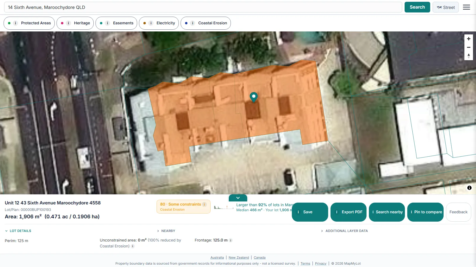 This page indexes every capability and links to the guide that explains it in full.
Try MapMyLot on a property now
Check an address freeFive free address lookups a day, no account needed. Additional readouts depend on local data coverage.
Boundaries and lot identity
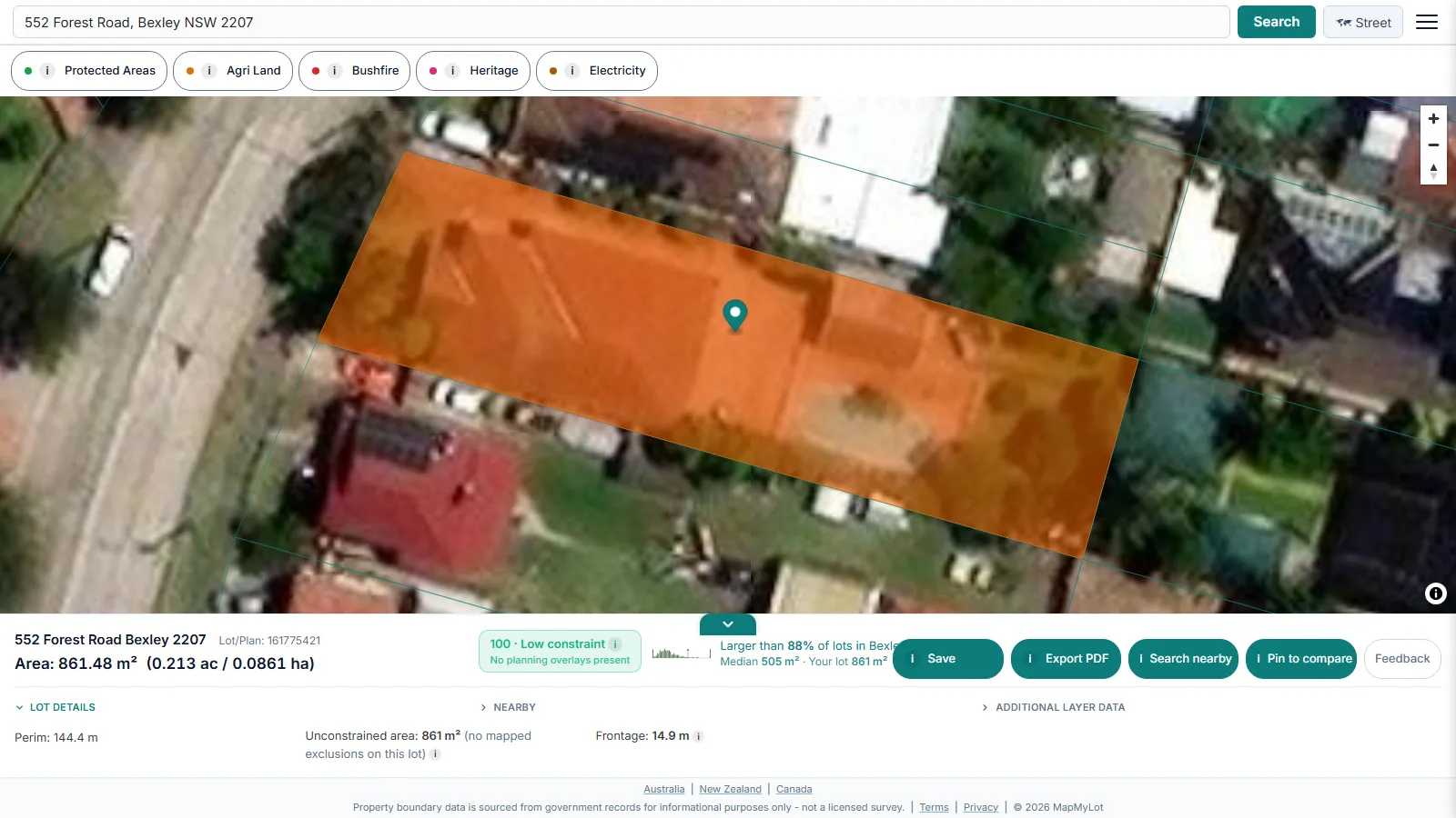 The starting point for any address is its property boundary: the cadastral polygon, area and perimeter for a searched address. Coverage and data source differ by jurisdiction, so each has its own guide: Queensland, New South Wales, Victoria, New Zealand and its boundary maps, British Columbia, and England and Wales. From any boundary you can confirm the lot number tied to it, or view the parcel over a satellite map with the property line overlaid.
Size, shape and buildable space
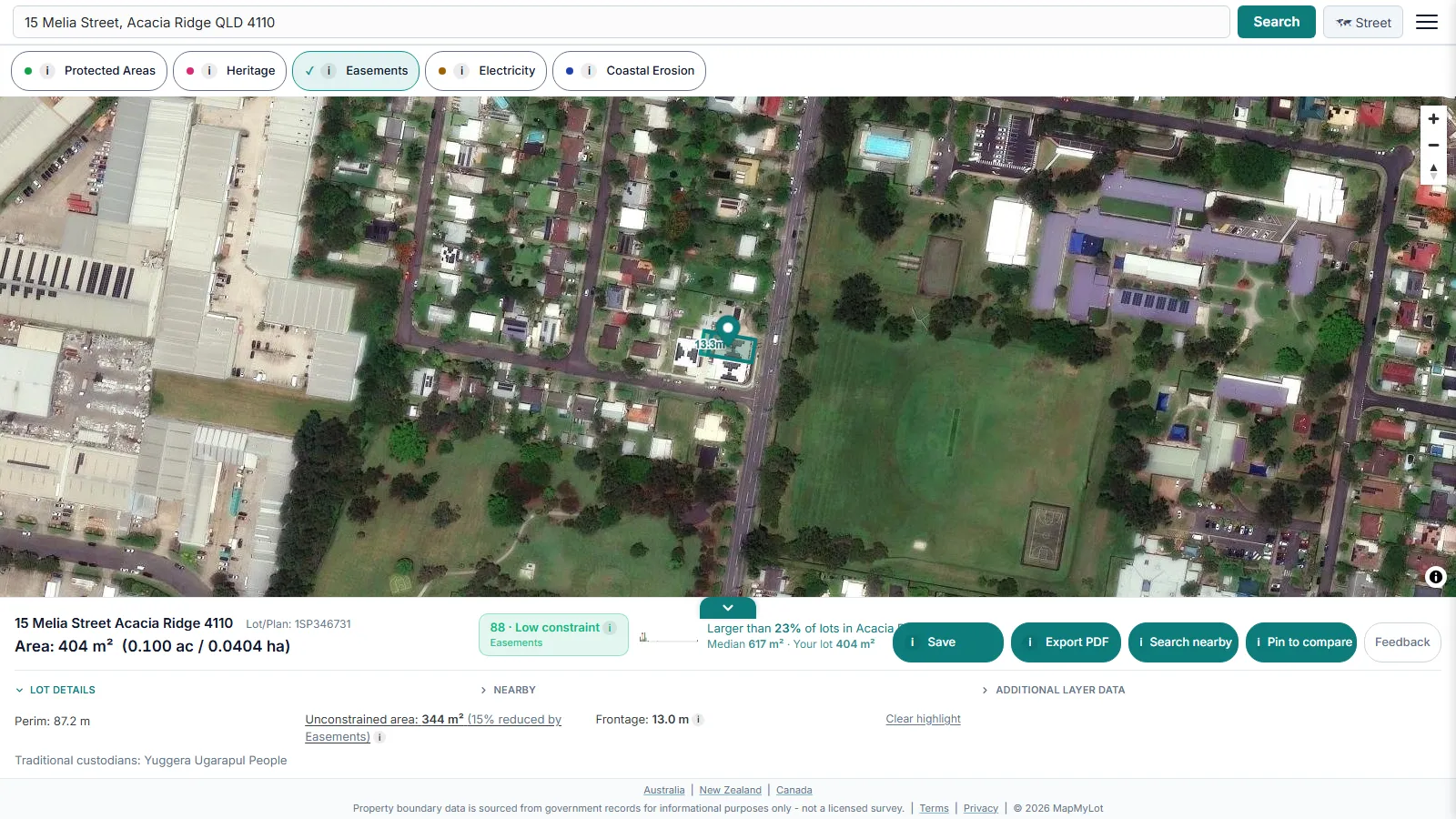 Beyond a raw boundary, MapMyLot reports lot size and answers how big a block of land actually is against typical benchmarks. The buildable area and frontage check goes further, estimating area after selected mapped constraints are subtracted; building setbacks are not applied.
Data layers on the map
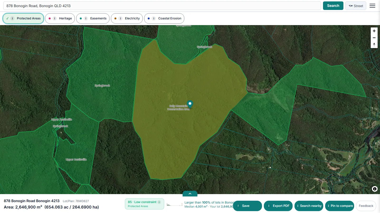 Nine data layers can be switched on over a property. Two are free to everyone. Protected Areas shows national parks, reserves and other protected land across all eleven jurisdictions. Agri Land reports agricultural land classification across ten, which matters where rural zoning or land-capability rules restrict what can be built.
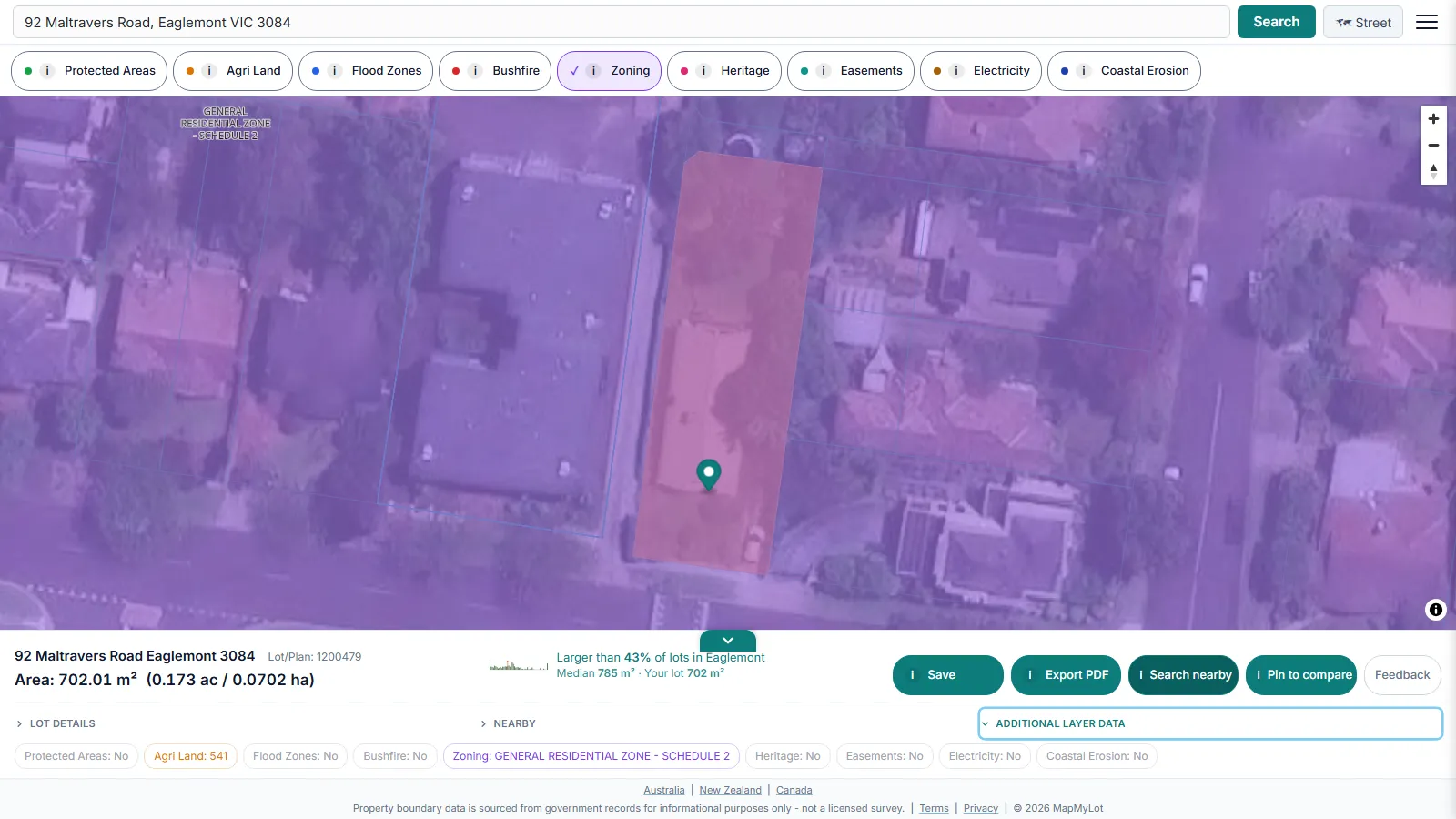 The remaining seven are Pro layers. Zoning returns the planning zone applying to the lot.
 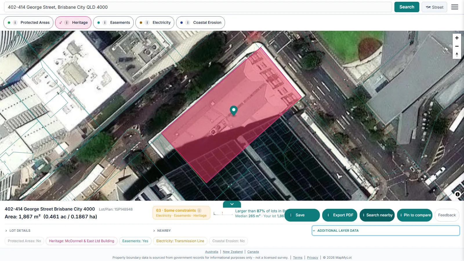 Heritage shows mapped heritage listings; local council heritage overlays require a separate check, with guides for how a heritage overlay works and for checking the NSW and QLD registers directly.
 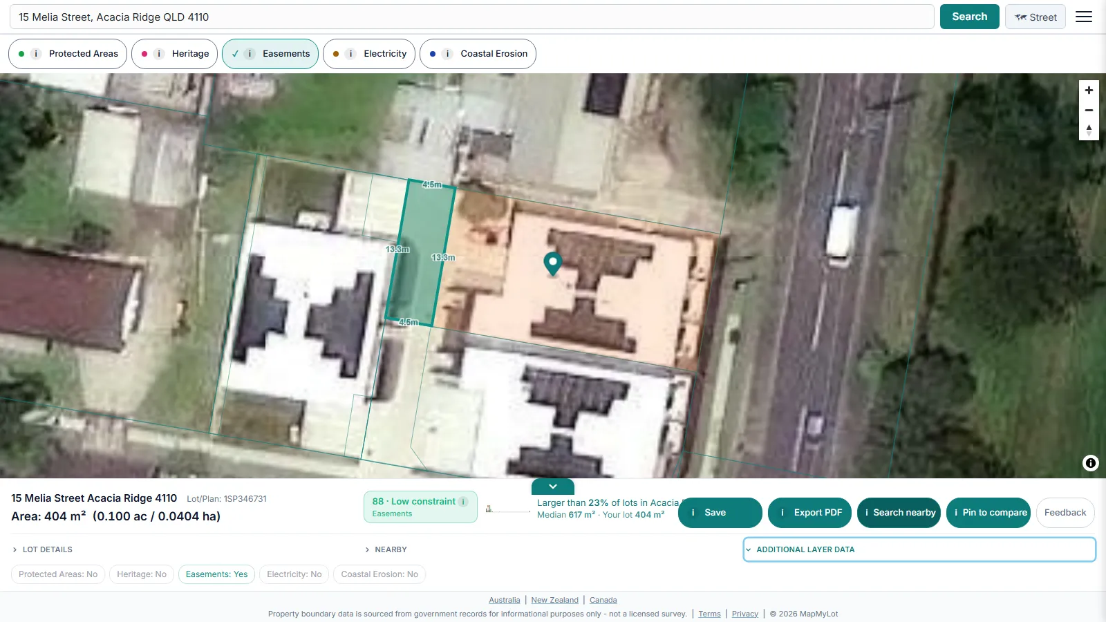 Easements shows registered easements crossing the parcel, which often decide where you can build.
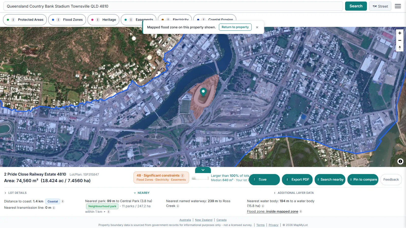 Hazard layers are reported as present or absent rather than folded into a single safety rating that could read as false reassurance. Check whether a lot sits in a flood zone, or on
 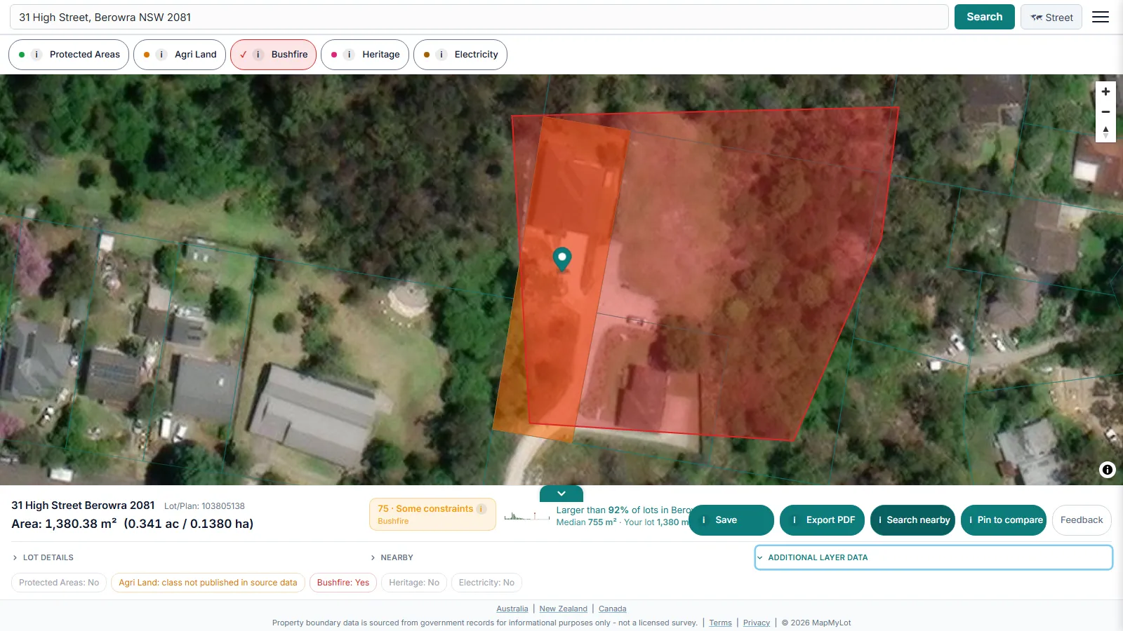 bushfire-prone land, and what its Bushfire Attack Level means for a build. Electricity marks transmission lines and easements crossing the lot across seven jurisdictions, and Coastal Erosion flags mapped erosion-prone areas where that data exists.
The constraint score
The constraint score rolls the mapped constraints above into a single 0-100 number, so a property can be judged at a glance before you open each layer individually.
Proximity to risks and amenities
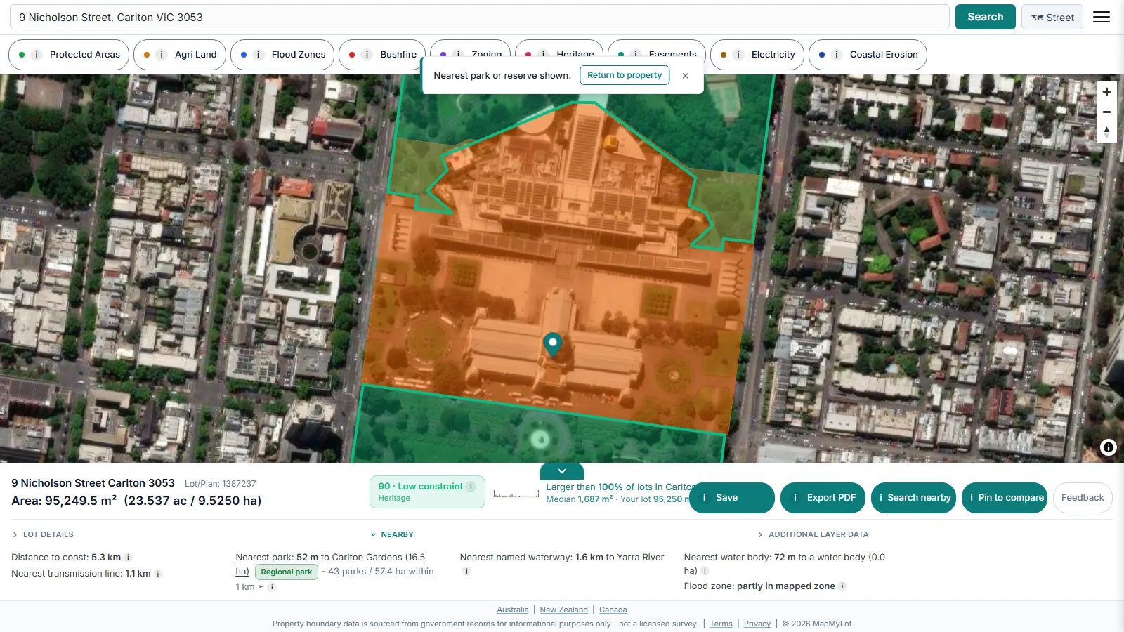 The proximity check measures the real distance from a lot to the features that affect its value and its buildability.
 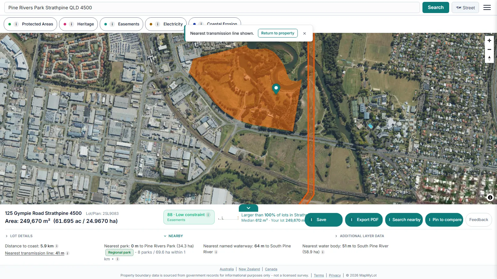 Each has its own guide: powerlines, the nearest park,
 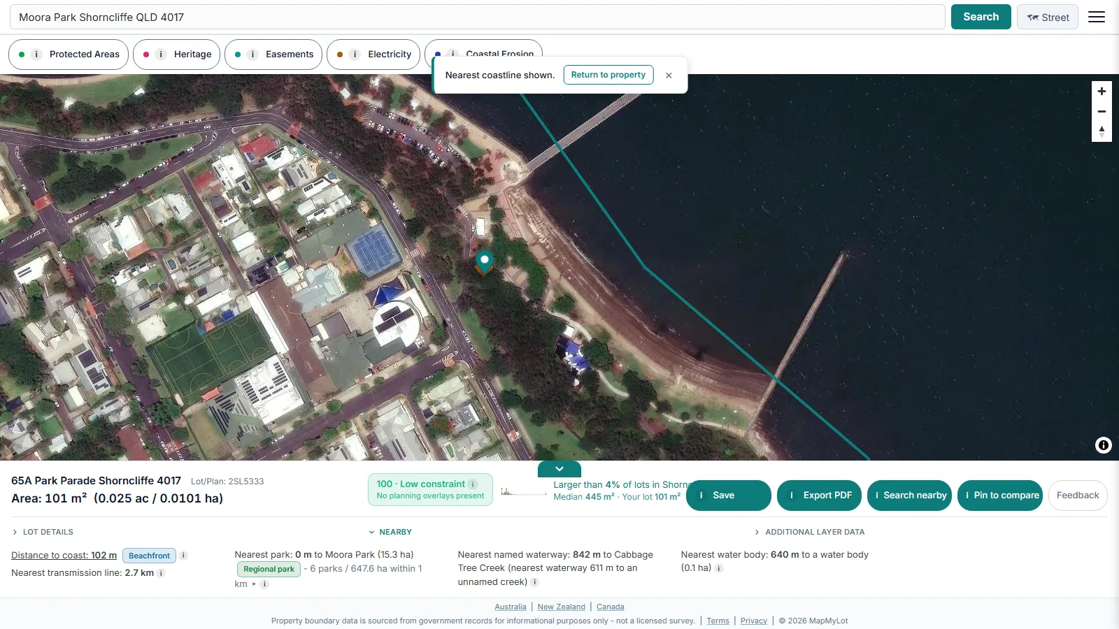 the coast,
 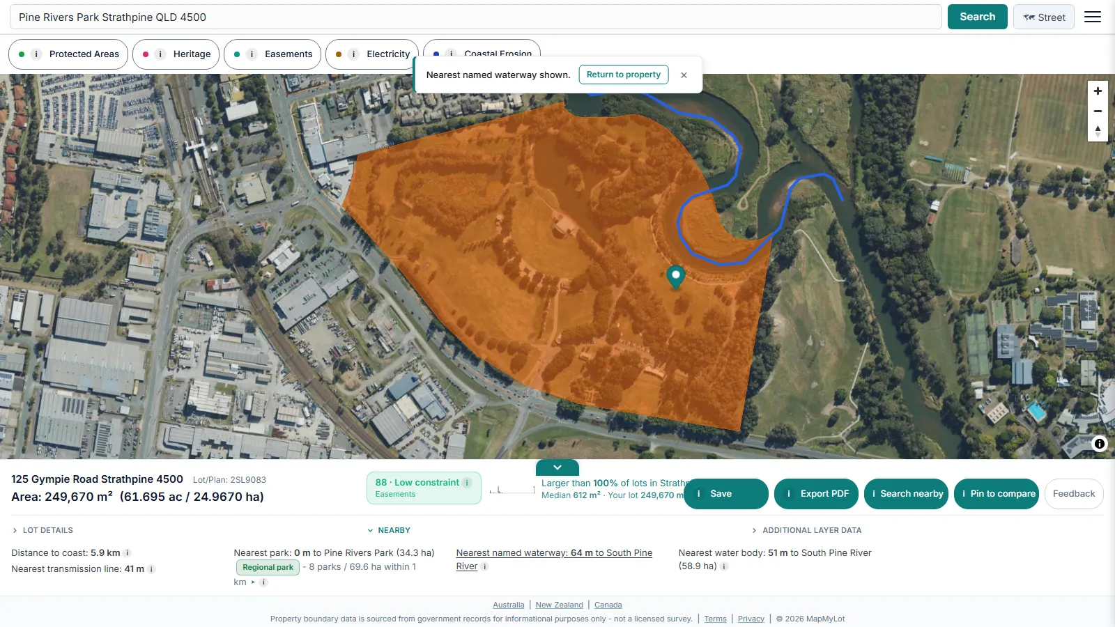 waterways, and
 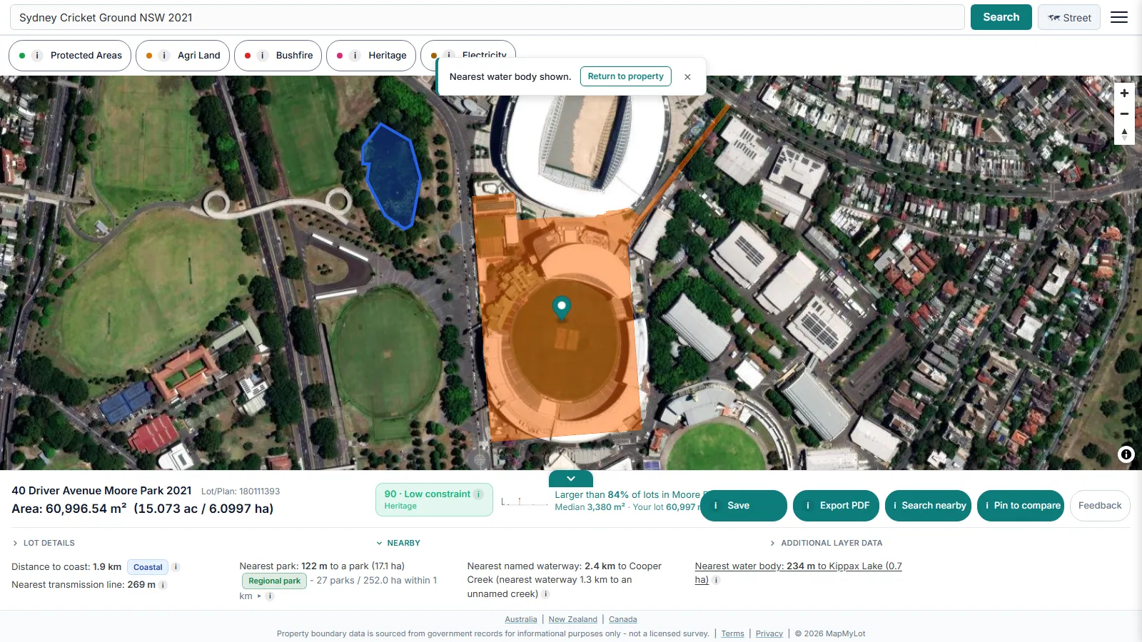 lakes and other water bodies.
Heritage and protected areas
Heritage status restricts what can be changed on a property. Start with whether your property is heritage listed, then read how a heritage overlay works, or check a state register directly: the NSW heritage register or the QLD heritage register. Protected areas such as national parks and reserves are reported on the same panel.
Comparing two properties
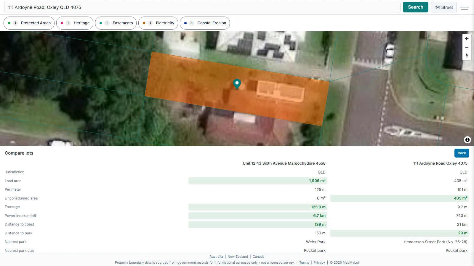 Compare two properties puts a pair of lots side by side on the same map, with their boundary, area, frontage and constraint data lined up so the differences are readable at a glance. It answers a question about two specific lots you have already picked.
Filtering and shortlisting land
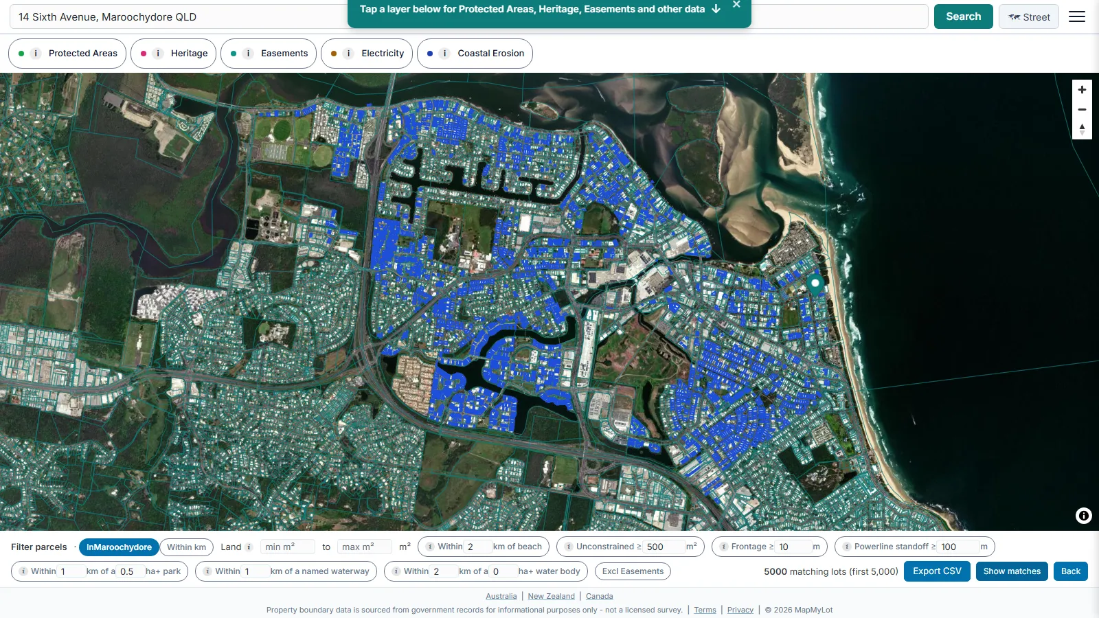 Shortlist builder solves the opposite problem: finding candidate lots when you do not know which ones you want yet. Search a whole suburb, or set a radius from a lot you have selected and search everything within it, out to 50 km. Narrow the results by land area, by mapped constraints, and by proximity to the coast, to parks and to waterways, then save or export the matches.
The PDF property report
The PDF summarises the available mapped property information for your research or a discussion with a client or builder. It is not a council certificate, title search or survey.
It opens on a full-page boundary map of the parcel. The second page carries the measurements and context: searched address, parcel ID and jurisdiction, land area and unconstrained area, frontage, perimeter, transmission standoff, hazard coverage as a percentage of the lot, and the data vintage behind each figure, alongside an acknowledgement of the Traditional Custodians of the land. That page also holds the constraint score, a proximity and lifestyle summary covering distance to the coast, the nearest park, waterways and water bodies, a suburb context chart placing the lot against local land sizes, and a boundary segments table giving the bearing and length of every edge.
Then every constraint actually present on the parcel gets its own page. Each one names the layer and its category, states its status on that specific parcel, cites the source, licence and data vintage, shows a map of exactly where it sits on the lot, and explains in plain English what it means for the property. A lot with easements, a mapped heritage listing and a flood zone produces a page for each, so nothing is reduced to a tick in a table. Reports are capped in length so they stay readable.
The PDF is included with Pro at A$19.99/month, or can be bought once for A$4.99 without a subscription. Any property you look up can also be saved to return to, and a filtered shortlist can be exported to CSV for a spreadsheet.
Disputes, agents and alternatives
For boundary questions that go beyond a lookup, MapMyLot covers what to do about a fence built on a boundary and how real estate agents use property boundary data. If you are comparing tools, see MapMyLot vs Landchecker.
Where to start
Most people begin with a plain address search to see the boundary, area and perimeter, then branch into whichever check matches the decision at hand. A build project usually needs buildable area, zoning and easements. A purchase decision usually needs the constraint score, hazards and a comparison against other listings. A boundary dispute usually needs the fence and lot number guides. Every guide linked here stands on its own, so start wherever your question sits. If you arrived here looking for a free Nearmap alternative, that comparison has its own guide too.
Choose the next step for your task
One property: start with the free address check. A record to keep: review the available data before buying a PDF. Repeated property research: Pro adds unlimited lookups, reports, comparison and Shortlist Builder. See current plan inclusions before upgrading.
Try MapMyLot on a property now
Check an address freeFive free address lookups a day, no account needed. Additional readouts depend on local data coverage.