Land Registry boundaries, free maps and who owns the fence
On this page
HM Land Registry publishes free INSPIRE Index Polygons for registered freehold land in England and Wales, and MapMyLot draws them from a street address, with the area and perimeter, for free. They show the position and indicative extent of a title, not the exact line. Even the official title plan, £7 from HM Land Registry, usually shows only general boundaries, and the register usually has no record of who owns the fence. A map tells you which parcel is which and roughly where the line runs. The deeds, an agreement with your neighbour and, if needed, a surveyor settle the rest.
See a Land Registry INSPIRE boundary free, from a street address
Check an address freeFive free address lookups a day, no account needed. The map is not a title plan.
The general boundaries rule
Under section 60 of the Land Registration Act 2002, the boundary of a registered estate shown for the register "is a general boundary" unless it has been determined, and "a general boundary does not determine the exact line of the boundary." HM Land Registry's Practice Guide 40, supplement 3 says "the great majority of registered titles show only the 'general boundaries'". Its property boundaries page puts it simply: "Most title plans do not show exact boundaries."
So the red edging on a title plan shows which land is in the title, not where a fence, wall or hedge should stand to the centimetre.
Title plans and what they cost
You can buy the title register and the title plan for a registered property in England or Wales from HM Land Registry's search for property information. It costs £7 for the title register and £7 for the title plan. The register names the owner and lists rights, restrictions and charges; the title plan shows the general extent of the land.
Buy them when you need the official record, for example before speaking to a neighbour about a boundary, or when a solicitor asks for them. For a first look at which parcel is which, the free map is faster.
INSPIRE polygons: the free map
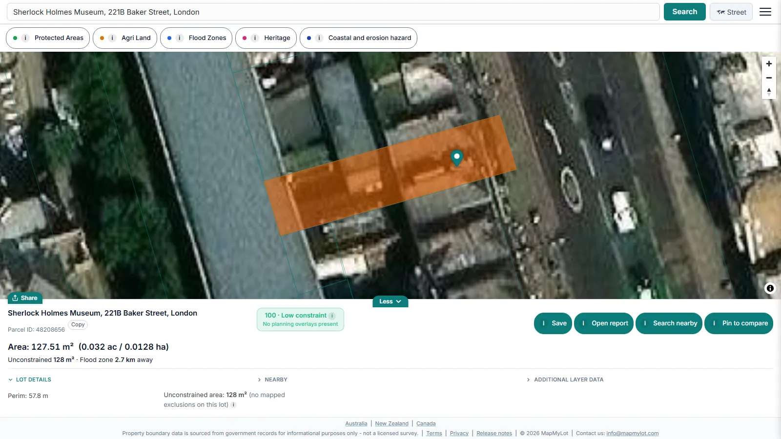
HM Land Registry describes its INSPIRE Index Polygons as "shapes that show the position and indicative extent of a registered property". The data covers registered freehold land and is updated monthly. MapMyLot loads these polygons for England and Wales: search an address and the polygon appears on a street or satellite map with its area and perimeter, without a title number or an account.
Use it to check which title a garden or a strip of land falls in, compare its shape with what is on the ground, or find the parcel before you buy its title plan. Land that has never been registered has no polygon, and a recent registration may take a while to appear.
Who owns the fence
HM Land Registry says there is usually no record of who owns the hedge, wall, tree or fence between two properties (your property boundaries). Neither the title plan nor the INSPIRE polygon answers the question, and no map can.
The answer, where there is one, is usually in the older deeds. Practice Guide 40 supplement 3 notes that "deeds may contain covenants to maintain a wall or fence but on their own, such covenants do not confer ownership", and that "'T' marks on deed plans which are not referred to in the text of a deed have no special force or meaning in law". Read the deeds with that in mind, or ask a solicitor to.
If you plan building work on or at the boundary, or work on a shared wall, the Party Wall etc. Act 1996 may require you to notify your neighbour first.
Settling the exact boundary
- Talk to your neighbour. Most boundary questions end here, with the title plans and a look at the ground.
- A boundary agreement. Practice Guide 40 supplement 4 says "two or more sets of owners may come to an agreement about the boundary between their properties". An agreement can record where the boundary is, who maintains a feature, or both.
- A determined boundary. An owner can apply to HM Land Registry to record the exact line of the boundary, based on a detailed surveyed plan. The application fee is £90 on HM Land Registry's registration fees page, plus the surveyor's cost.
- A chartered surveyor and a solicitor. For a dispute, a surveyor measures the line on the ground and a solicitor reads the title and deeds.
What a map cannot settle
- The exact legal line, to the centimetre.
- Who owns or must maintain a fence, wall or hedge.
- Rights of way and other rights over the land, which are in the register and the deeds.
- Unregistered land, which has no INSPIRE polygon.
What a free map can do is show the registered parcel over satellite imagery so you can see whether a fence roughly follows it. See is my fence on the boundary for that check, and the England and Wales boundary guide for the map itself.
Scotland is different
Scotland has its own register, run by Registers of Scotland. MapMyLot shows its cadastral parcels, and ScotLIS sells a title sheet and title plan for £3.00 plus VAT. Registers of Scotland says the extent of a registered title cannot be established from the cadastral parcel. See the Scotland boundary guide.
Free map, report or Pro
Five lookups a day are free with no account. A PDF report for one lot costs £19.99 with no subscription: the boundary map with every side measured, the area and perimeter, flood zones in England and heritage in England and Wales where mapped, and ground level and slope in England and Wales. Pro, at £29.99 a month, removes the daily limit and includes reports for every lot. See what the PDF report contains.
See a Land Registry INSPIRE boundary free, from a street address
Check an address freeFive free address lookups a day, no account needed. The map is not a title plan.